MIRAI GEOSPATIAL
Capture reality.
Build confidence.
Reality capture and spatial intelligence that connects the physical environment with reliable digital information.
The Role
Know what is really there.
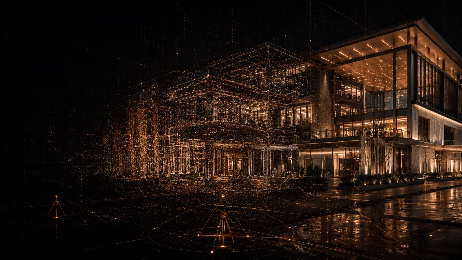
Mirai Geospatial captures, processes and verifies existing conditions so project teams can work from reliable spatial information.
From survey control through point clouds and Scan-to-BIM, the focus is confidence in the connection between the physical environment and the digital information used to make project decisions.
Core Service Areas
Where we add value.
- 01
3D Laser Scanning
- 02
Reality Capture
- 03
Point Cloud Processing
- 04
Scan-to-BIM
- 05
Existing Conditions Surveys
- 06
Survey Control
- 07
Spatial Verification
- 08
Digital Estate Capture
Typical Support
The Outcome
Existing-condition information teams can trust.
Better capture reduces assumptions, repeat surveys and alignment errors while creating a stronger digital foundation for design, construction and asset management.
Connected Capability
One Mirai response.
Three connected capabilities.
Start a Conversation